MAPS


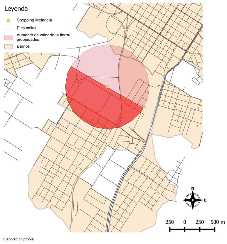
Some work done: kriging interpolation, land uses, NDVI, classification of soils, geolocations, buffers, heatmap, etc.
Sobre Mim
I consider myself responsible, organized, practical and committed in everything I do. Due to my career I have a quite complete training in different areas, be it socio-economic, environmental and technological, I also have certificates in computer science and English. Experience in GIS (QGIS, ArcGIS, gvSIG), Cartography, Google Earth, Google Maps, Remote Sensing, Photogrametry, Geography of risk, Geographic databases and much more. /// Debido a mi carrera tengo una formación bastante completa en diferentes áreas, ya sea socio-económica, ambiental y tecnológica, además poseo certificados en informática e inglés. Experiencia en SIG (QGIS, ArcGIS, gvSIG), Cartografía, Google Earth, Google Maps, Teledetección, Fotogrametría, Georriesgos, Bases de datos geográficos y más.

